| . |
| . |
| . |
| The Red Rocks |


|
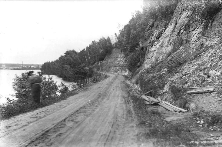
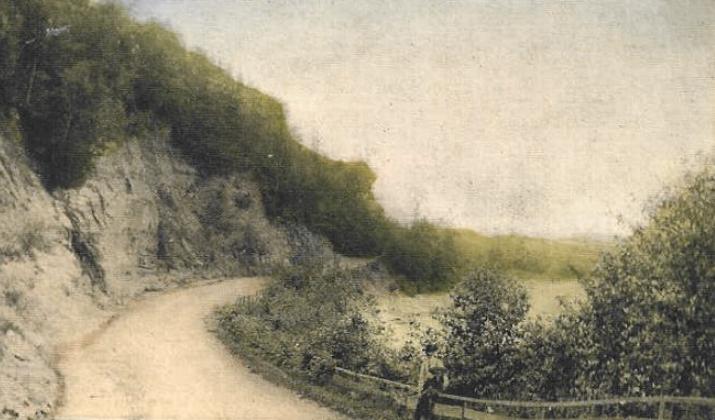
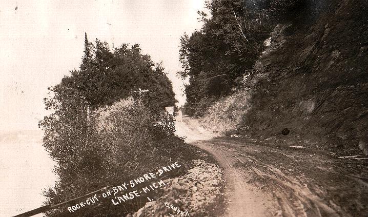
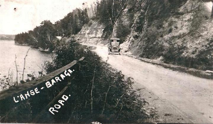
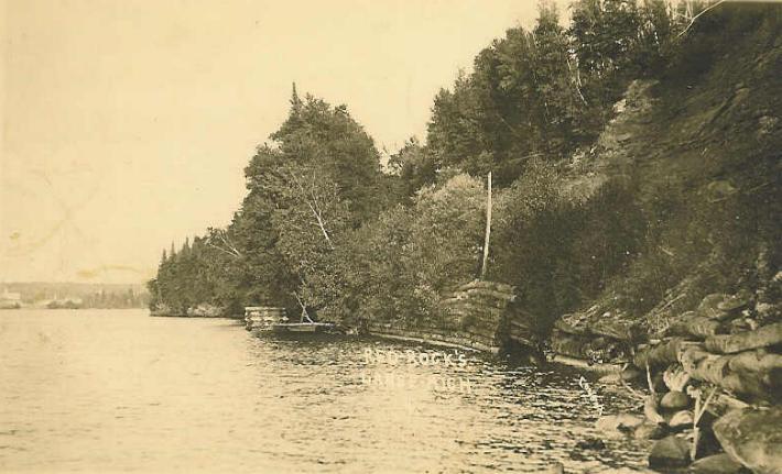
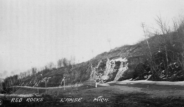
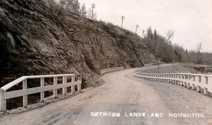
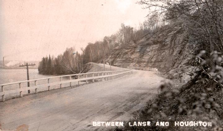
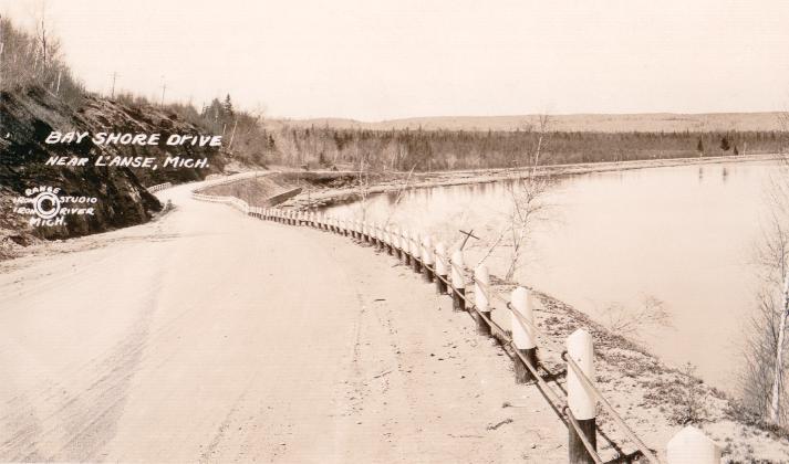
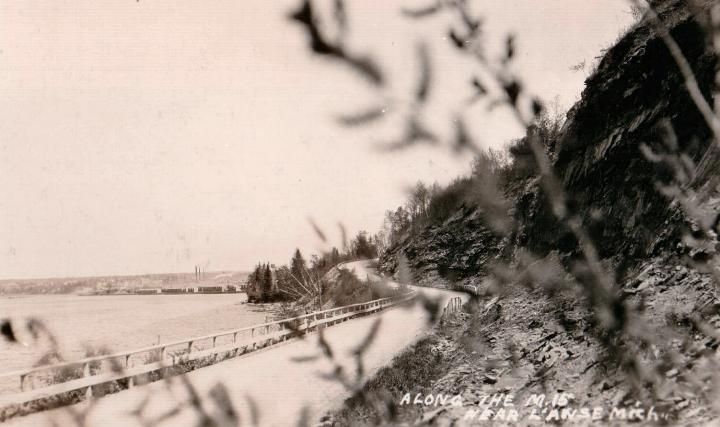
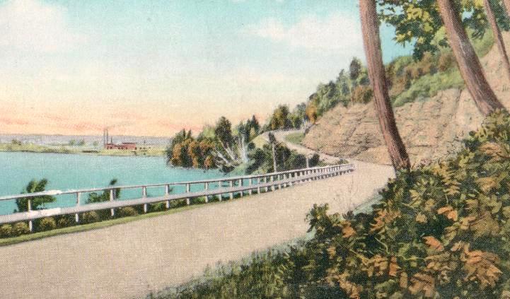
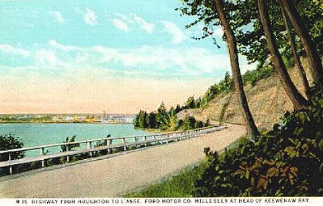
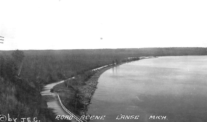
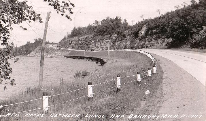
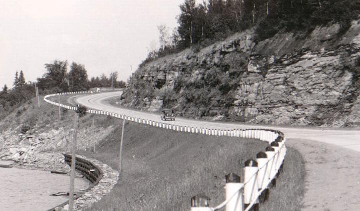
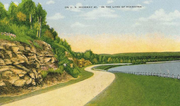
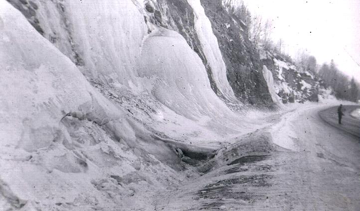
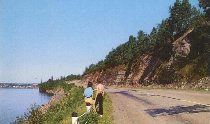
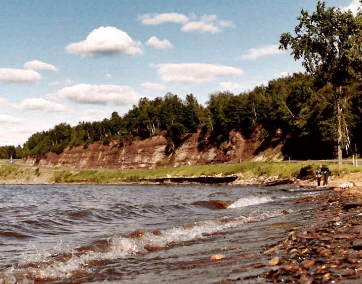
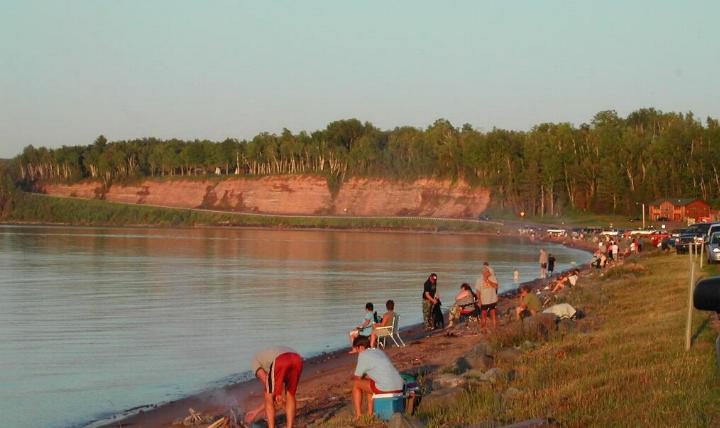
| 1900's PICTURE 1 1900's picture of the Red Rocks and old road between L’Anse and Baraga. PICTURE 2 1900's picture of the Red Rocks and old road between L’Anse and Baraga. PICTURE 3 1900's picture of the Red Rocks and old road between L’Anse and Baraga. 1910's PICTURE 1 1910's picture of the Red Rocks and old road between L’Anse and Baraga. PICTURE 2 1910's picture of the Keweenaw Bay shoreline just below the Red Rocks with L’Anse in the distant background. 1920's PICTURE 1 1920's picture of the Red Rocks and old road between L’Anse and Baraga. PICTURE 2 1920's picture of the Red Rocks and old road between L’Anse and Baraga. PICTURE 3 1920's picture of the Red Rocks and old road between L’Anse and Baraga. PICTURE 4 1920's picture of the Red Rocks and old road between L’Anse and Baraga. PICTURE 5 1920's picture of the Red Rocks and old road between L’Anse and Baraga. PICTURE 6 1920's color postcard of the Red Rocks and old road between L’Anse and Baraga. PICTURE 7 1920's color postcard of the Red Rocks and old road between L’Anse and Baraga. PICTURE 8 1920's picture of the old road between L’Anse and Baraga from the top of the Red Rocks. 1930's PICTURE 1 1930's picture of the Red Rocks and US Highway 41 between L’Anse and Baraga. PICTURE 2 1930's picture of the Red Rocks and US Highway 41 between L’Anse and Baraga. PICTURE 3 1930's picture of the Red Rocks and US Highway 41 between L’Anse and Baraga. PICTURE 4 1930's color postcard of the Red Rocks and US Highway 41 between L’Anse and Baraga. 1940's PICTURE 1 1940's picture of ice build-up on the Red Rocks. 1960's PICTURE 1 1960's picture of the Red Rocks and US Highway 41 between L’Anse and Baraga. PICTURE 2 1960's picture of the Red Rocks and US Highway 41 between L’Anse and Baraga. 2000's PICTURE 1 A present day picture of the Red Rocks taken from the head of the bay shoreline prior to a 4th of July fireworks display. |
 |
| A Photo History of Baraga County |